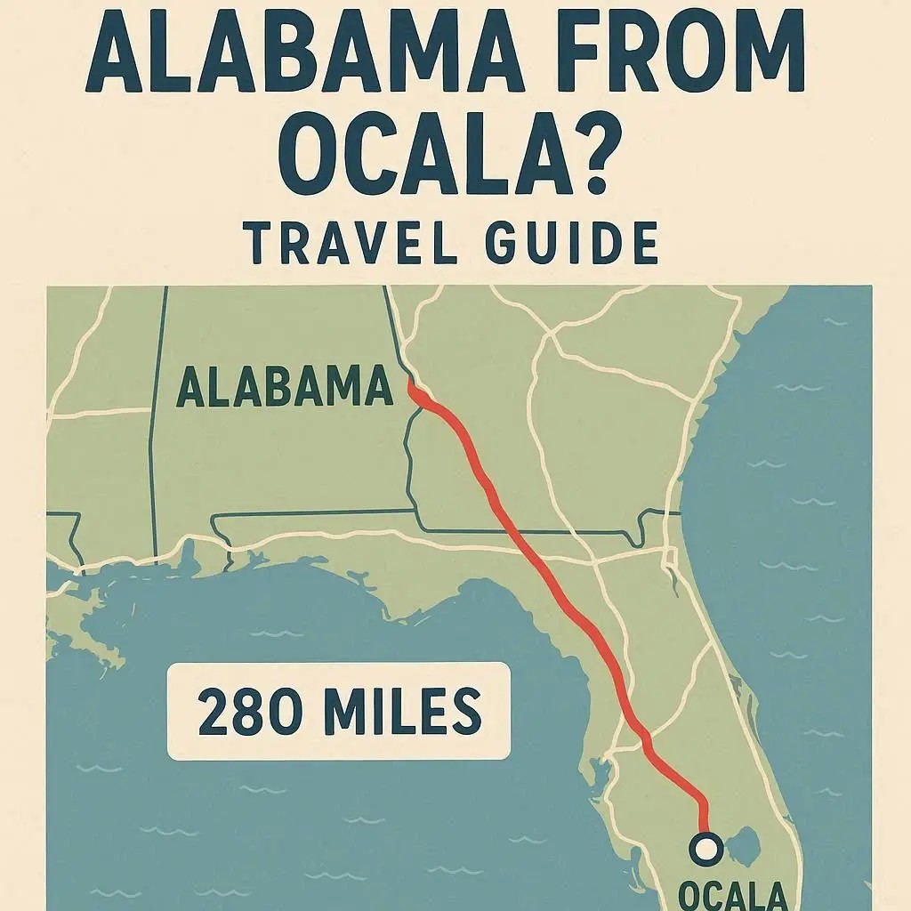
How far is Alabama from Ocala?
Distance Overview
By Road (Driving):
From Ocala, FL to Mobile, AL → about 375 miles (600 km), ~ 6 hours driving.
From Ocala, FL to Birmingham, AL → about 460 miles (740 km), ~ 7 hours driving.
From Ocala, FL to Montgomery, AL → about 360 miles (580 km), ~ 5.5–6 hours driving.
By Air (Flying):
Nearest airport to Ocala: Gainesville Regional Airport (GNV) or Orlando International Airport (MCO).
Flights from Orlando/Tampa to Birmingham (BHM) or Mobile (MOB) take around 1.5–2 hours (plus airport time).
Driving Routes
I-75 N → I-10 W
Best route if heading to Mobile, AL.
Scenic drive through Florida Panhandle.
I-75 N → I-85 N
Best for Montgomery, AL.
I-75 N → I-20 W
Best for Birmingham, AL.
Other Travel Options
Bus (Greyhound or Megabus):
Services run from Gainesville/Orlando to Montgomery, Birmingham, and Mobile. Travel time: 8–10+ hours.
Train (Amtrak):
No direct train from Ocala, but you could depart from Orlando or Jacksonville. Expect longer travel times (10–12+ hours).
Travel Tips
Driving is the most convenient option if you want flexibility.
Flying saves time for longer trips, especially if your destination is northern Alabama.
Plan stops: The route passes through Tallahassee and Pensacola—great for food or sightseeing.
In short:
The distance from Ocala, Florida to Alabama ranges from about 360 to 460 miles, or 5.5 to 7 hours by car, depending on the city.
This guide provides answers to your questions about traveling from Ocala, Florida, to various cities in Alabama, including distance, driving routes, travel time, and public transportation options.
How Far Is Alabama from Ocala?
The distance from Ocala to Alabama varies depending on your specific destination within the state. For example:
The road distance to Montgomery, Alabama, is approximately 375-380 miles (about 603-611 kilometers).
The road distance to Birmingham, Alabama, is approximately 440 miles (about 708 kilometers).
The road distance to Mobile, Alabama, is approximately 475 miles (about 764 kilometers).
What Are the Best Routes from Ocala to Alabama?
The most common and efficient driving routes involve using major interstate highways.
For destinations in central Alabama (like Montgomery or Birmingham), the typical route involves taking I-75 North from Ocala and then transitioning onto I-10 West and finally I-65 North.
For destinations in southern Alabama (like Mobile or Dothan), the route often involves taking I-75 North to I-10 West and following it across the Florida Panhandle and into Alabama.
How Long Does It Take to Drive from Ocala to Alabama?
Driving time largely depends on your destination and traffic conditions.
Driving to Montgomery can take approximately 6-7 hours.
Driving to Birmingham can take approximately 8-9 hours.
Driving to Mobile can take approximately 10-11 hours.
These times do not account for stops for fuel, food, or rest.
Are There Public Transportation Options Between Ocala and Alabama?
Yes, public transportation is available, although there are no direct bus or train routes. All options require transfers and are significantly longer than driving.
Bus: Bus companies like Greyhound and FlixBus offer routes from Ocala to cities in Alabama, such as Birmingham, Mobile, and Tuscaloosa. The journey typically involves multiple transfers in cities like Tallahassee or Atlanta and can take anywhere from 10 to over 40 hours.
Train: Amtrak offers limited services, often requiring a combination of bus and train travel with multiple transfers.
What Cities in Alabama Are Closest to Ocala?
The closest major city in Alabama to Ocala is Dothan. This city is located in the southeastern corner of the state, just across the Florida border. Other cities in southern Alabama, such as Andalusia and Enterprise, are also relatively close.
